
NASHUA — A major snowstorm is coming our way, starting Friday night and lasting through Saturday.
Heavy snowfall and low visibility is predicted to make driving dangerous at times.
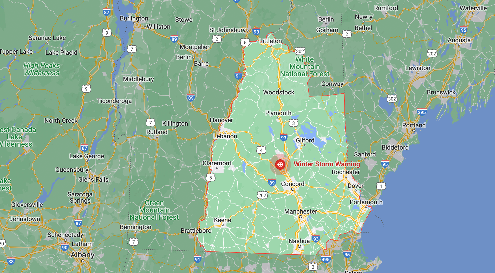
The worst snowfall is expected in southern New Hampshire, but other parts of the state might get hit hard too.
There’s a chance that some sleet could mix in, and a potential of over 12 inches of snow in some areas.
Affected areas include:
Bethlehem, Lincoln, Littleton, Sugar Hill, Thornton, Waterville Valley, Woodstock, Lebanon, Lyme, Ashland, Ellsworth, Holderness, Plymouth, Rumney, Wakefield, Bridgewater, Brookfield, Ossipee, Tuftonboro, Wolfeboro, Moultonborough, Claremont, Cornish, Unity, Croydon, Goshen, Grantham, Lempster, Newport, Charlestown, Boscawen, Canterbury, Concord, Dunbarton, Loudon, Hooksett, Laconia, Gilford, Meredith, Barrington, Rochester, Dover, Rollinsford, Somersworth, Durham, Madbury, Gilsum, Keene, Marlow, Sullivan, Surry, Jaffrey, Manchester, Pelham, Nashua, Salem, Atkinson, Newton, Plaistow, Chester, Derry, Hampstead, Exeter, Greenland, Portsmouth, Rye, Hampton, Hampton Falls, North Hampton, Seabrook, Amherst, Milford, Mont Vernon, Goffstown, Peterborough, Sharon, and Hollis.
- Heavy snow and sleet possible. You might see over 12 inches of snow and up to a quarter inch of sleet in some areas. Winds could get up to 35 mph near the coast.
- Central, northern, and southern New Hampshire could all be affected.
- The storm is expected to last from Friday evening through Saturday evening.
- Be careful driving in the snow. Visibility might be low, and the snowfall could be heavy at times.
The weekend forecast:
Tonight
The sky will be mostly clear, and temperatures will drop to around 26. The northwest wind will be blowing at a speed of 5 to 15 mph, and gusts as high as 25 mph are expected.
Friday
Expect mostly sunny skies, with temperatures reaching a high of around 40. The northwest wind will be blowing at around 5 mph.
Friday Night
Snow is expected, mainly after 11pm, and it could be heavy at times. Temperatures will drop to around 31, and the east wind will be blowing at a speed of 5 to 15 mph, with gusts as high as 25 mph. There is a 100% chance of precipitation, and new snow accumulation of 4 to 8 inches is possible.
Saturday
Plan for rain, snow, and sleet before 3pm. Rain is likely to fall between 3pm and 4pm, and scattered snow is expected after 4pm. Expect a high of around 34, with the north wind blowing at around 15 mph, and gusts as high as 30 mph. There is a 100% chance of precipitation, and new snow and sleet accumulation of 2 to 4 inches is possible.
Saturday Night
Expect scattered snow showers, mainly before 8pm. The sky will be mostly cloudy, and temperatures will drop to around 24. The north wind will be blowing at a speed of 5 to 10 mph, with gusts as high as 20 mph. There is a 30% chance of precipitation.
Sunday
The sky will be partly sunny, and temperatures will reach a high of around 40.
Sunday Night
Expect mostly clear skies, and temperatures will drop to around 28.